-> Click here to see all confirmed benchmark participants
The data acquisition (scan records) will take place on 27th of September and the 1st of Ocotber 2021 near Vienna. The focus of this scanning benchmark is put on all available LiDAR systems that are currently used for forestry applications. All data will be accessible openly. During the measurements, a camera team will film the work. The recordings will be made available to all conference and benchmark participants. A corresponding data exchange agreement is being prepared.
Depending on overall circumstances, preliminary results will be presented on 30th of September in a plenary session.
Benchmark Registration:
Conference participants can register for the benchmark excursion during their regular registration. If you want to participate in a benchmark challenge, please register via email to SilviLaser@umweltdata.at. Please include the desired category of challenge.
Benchmark entry-fee is 500€ (excl. VAT) per challenge and will be invoiced by Umweltdata.
The benchmark will focus on practical issues in operational applications. Based on the acquired data the following questions should be answered:
- time and effort of data acquisition
- costs and weight of equipment
- processing requirements and time
- necessity of interactive input during processing
- completeness and robustness of feature extraction
- accuracy, validity and explanatory power of results
- robustness (error-proneness) of the whole process
The benchmark will be split into 5 challenges:
- production of valid point clouds by TLS
- production of valid point clouds by hand-held or backpack-scanning (PLS)
- production of valid point clouds by UAV scanning (above- or sub-canopy) (ULS)
- feature extraction from TLS and PLS point clouds
- feature extraction from ALS and ULS point clouds
Challenges a, b and c can be chosen separately or in combination with d.
Challenge d can be met based on shared data from a + b + c
Challenges a, b and c will need physical presence
Challenges d and e can be performed remotely by data download and upload of results
The benchmark test sites are situated near Vienna
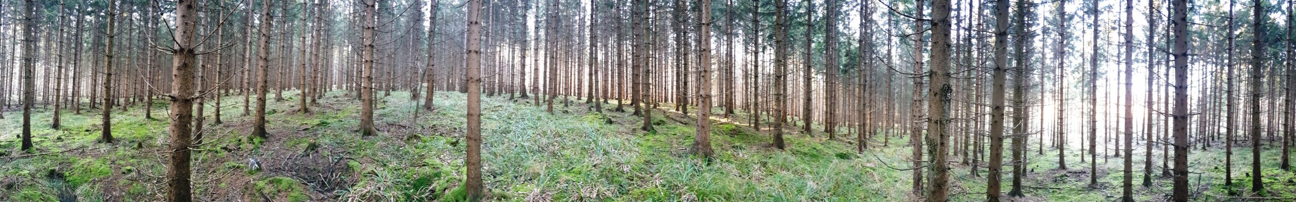
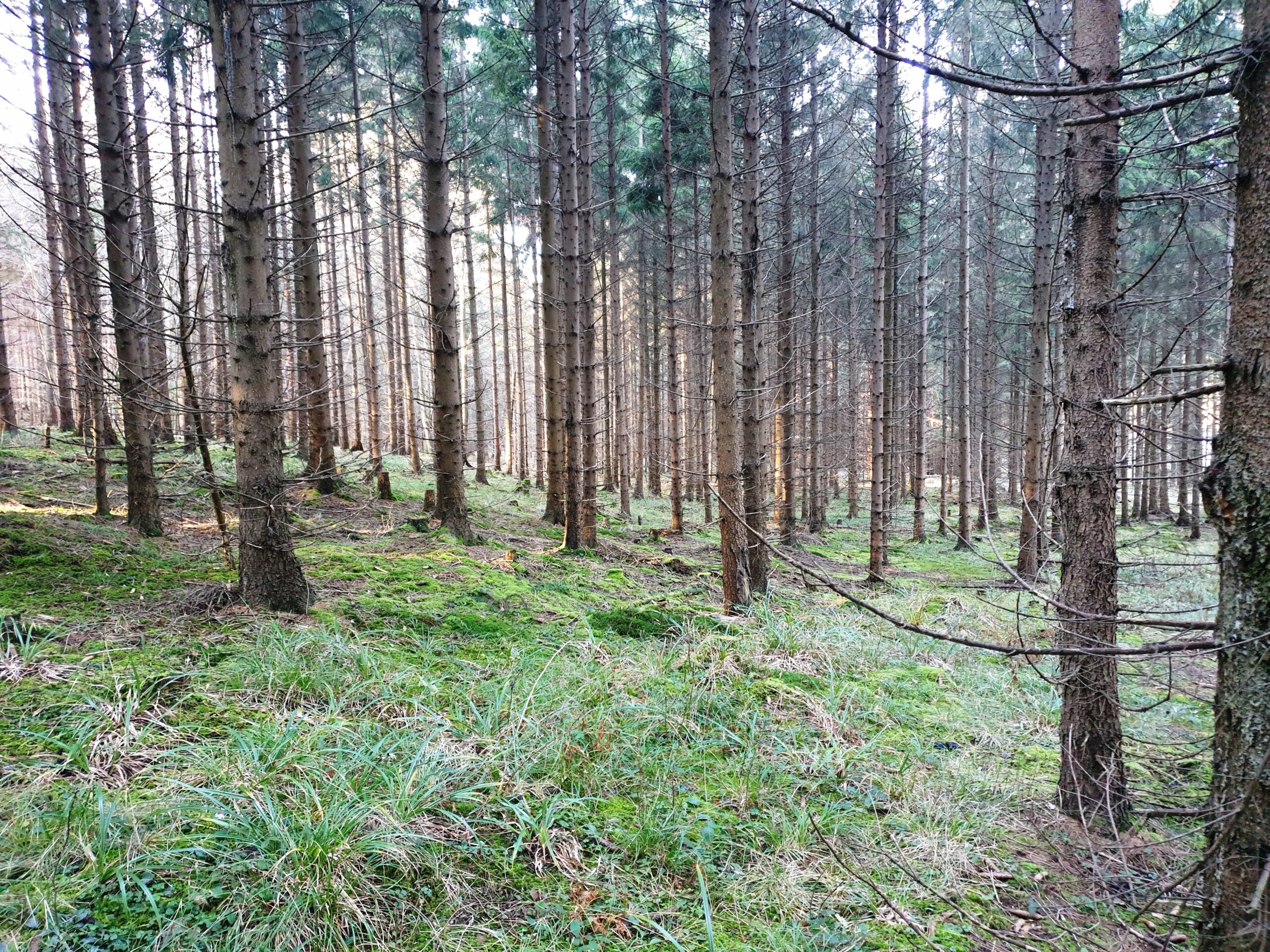
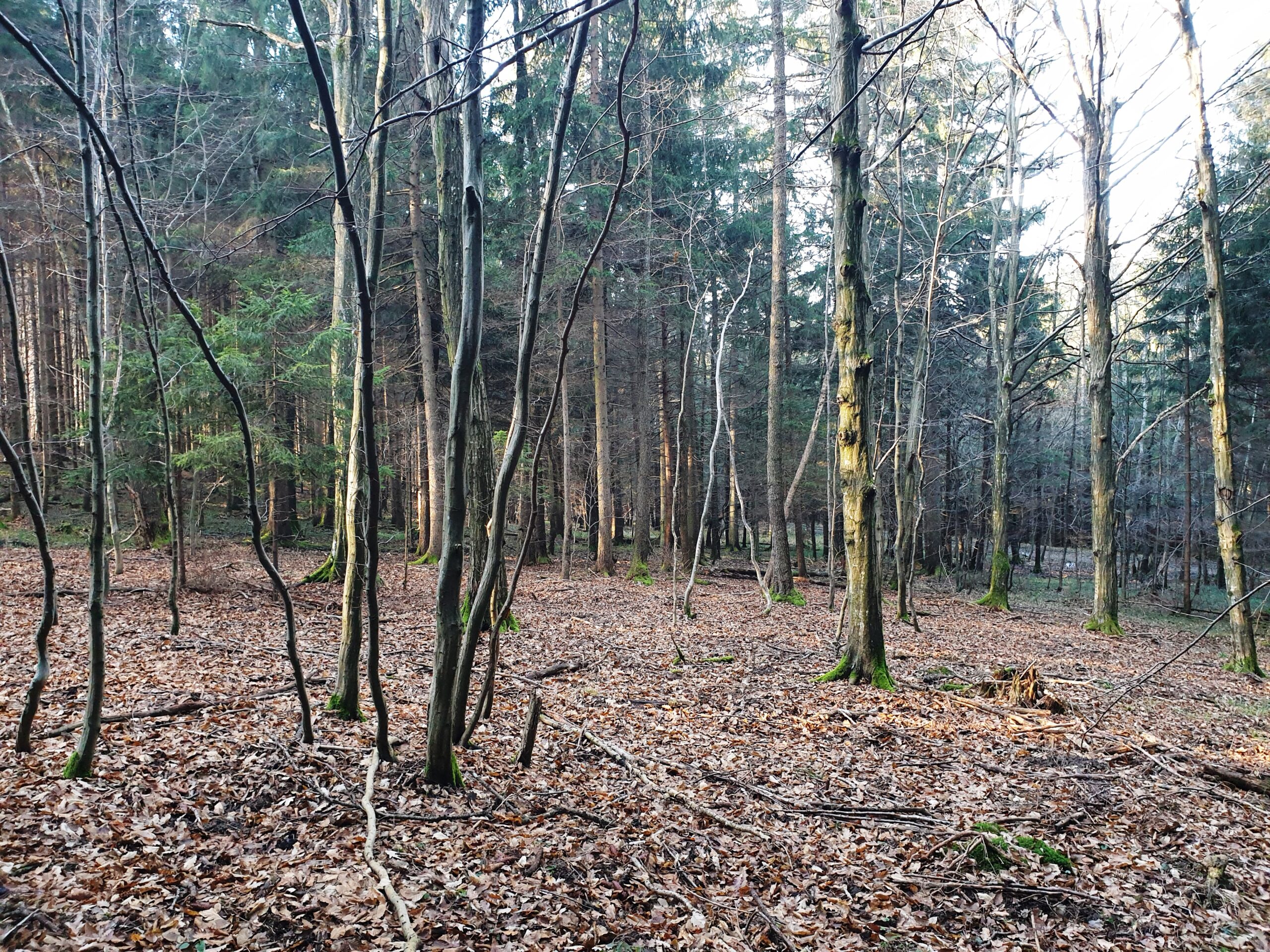
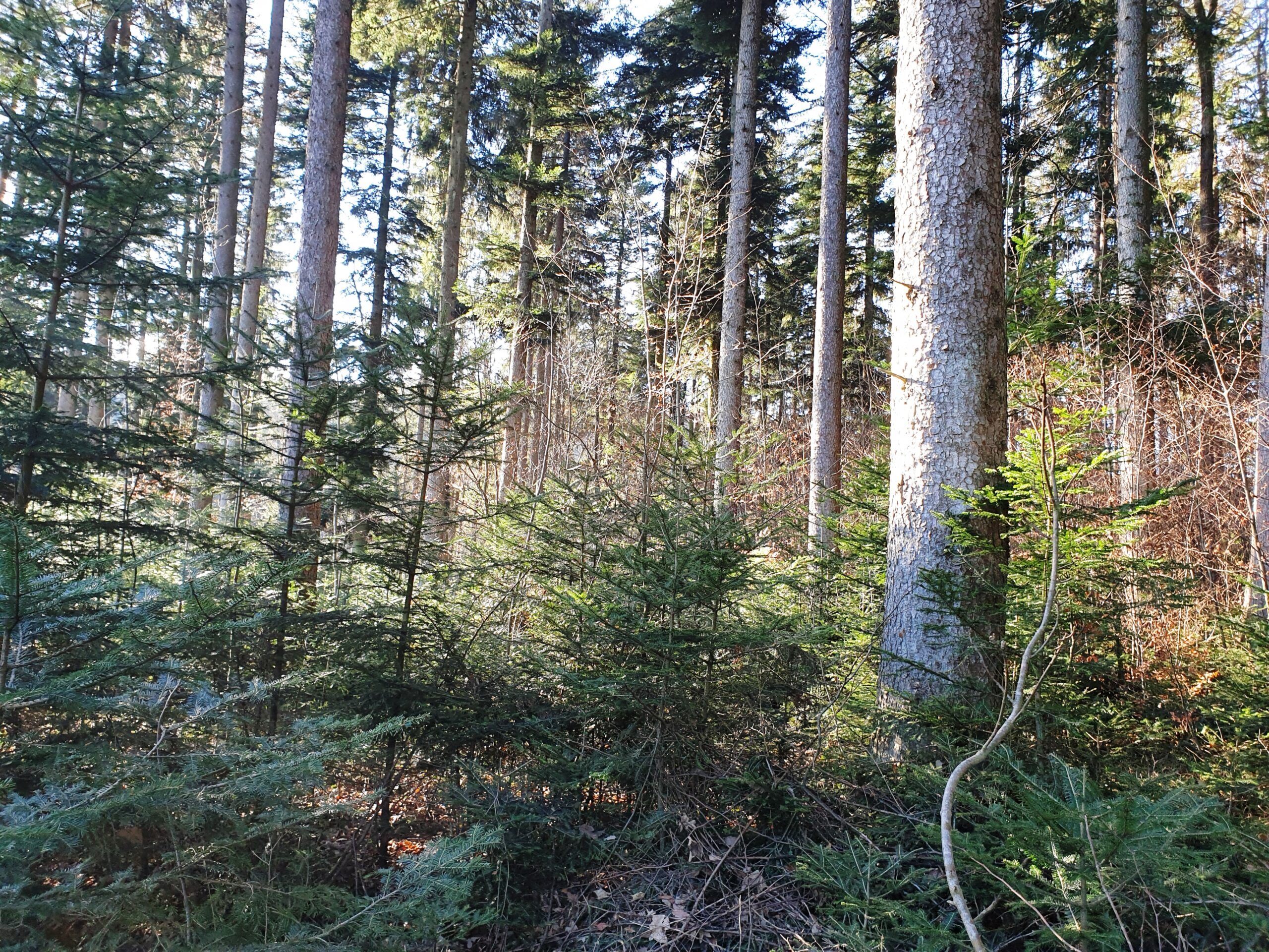
- one pair of sample plots in a mixed spruce and pine forest, age ~50y
- one pair of sample plots in a deciduous forest mainly beech, age ~50y
- one pair of sample plots in a mixed forest mainly white fir with natural regeneration, age ~120y
- one pair of sample plots in a mixed forest age ~120y with huge trees
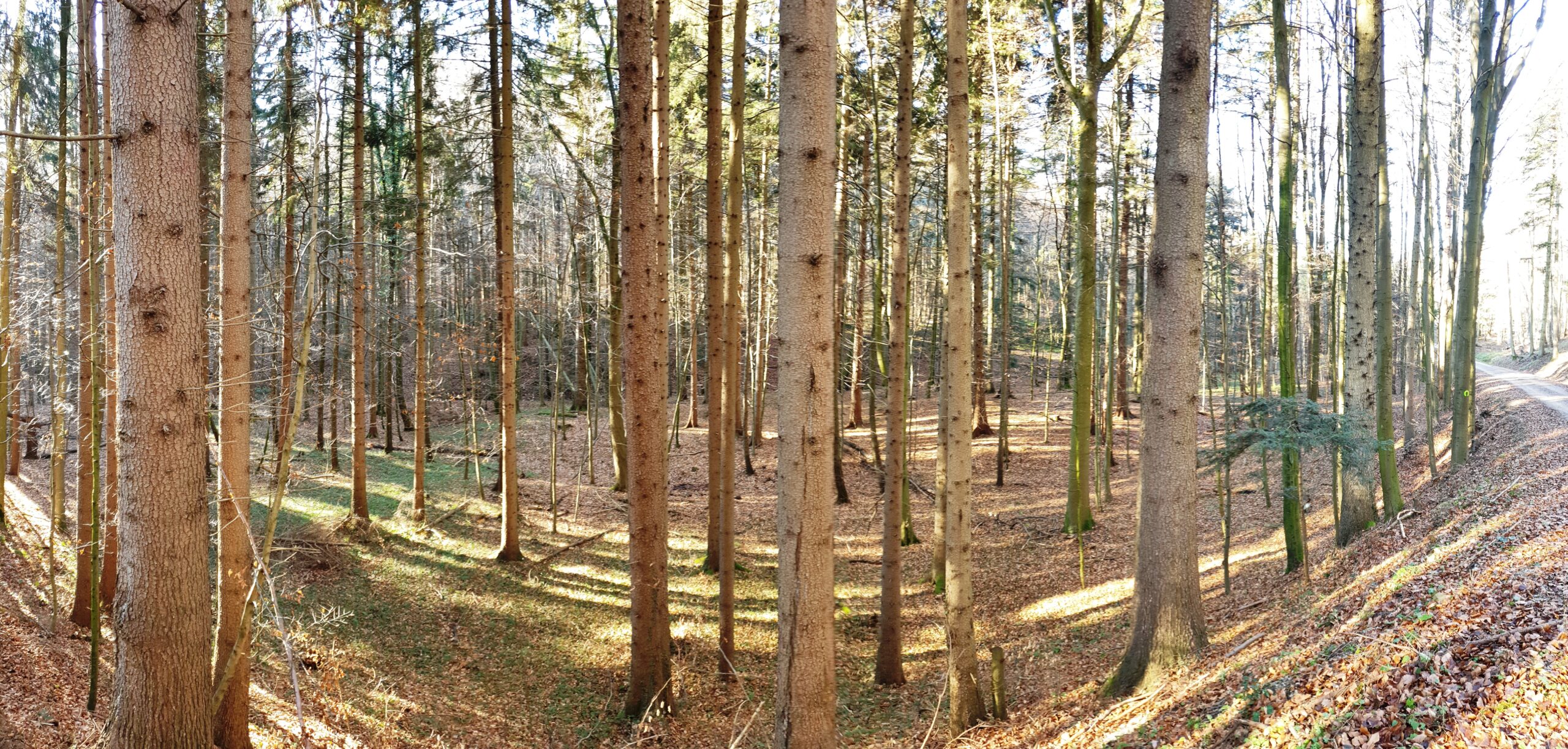
- Two stands (1 hectare each) mainly spruce, age ~50y
Site 1–4 are for TLS and PLS measurements, site 5 for ULS
On all places the scan operators can act undisturbed by spectators while the spectators have a good view at the activities on the site.
Schedule of the benchmark:
- July-August 2021: acquisition of reference data for all test sites (ALS, TLS, in-situ measurement of tree position, tree species, dbh); these measurements will be done by the company Umweltdata and TU Wien, ALS data will be acquired by Riegl
- 1st of September: delivery of ALS-based DTM and DSM of the benchmark area as basis for planning the field campaigns (i.e. individual LiDAR measurements) and composing UVA flight plans.
- 27th of September and 1st of October: TLS and PLS measurements on test sites 1–4;
25 minutes per sample plot (50 min. per test site) per participant, 4 test sites (8 sample plots) in total. There will be pauses for relocation and refreshment.
Participants with more time-consuming methods can chose one of 2 sample plots per site. - 27th of September or 1st of October (depending on weather conditions): UAV scanning on test-site 5); 30 minutes per participant.
- Post-processing to obtain valid point clouds should be completed until 10 am on the following day (either upload or delivery of a storage media)
- Challenge d can be performed as soon as uploaded point-clouds are published.
We expect a maximum of 16 (20) participants for the TLS/PLS challenge and 10 (12) participants for the UAV scanning challenge. If time slots are available, participants can go into the challenge twice with different technology. The measurements are planned from 10 am to
5 pm; the extended number of participants in parentheses reflect a prolongation of scanning time until 6 pm. Unlimited participation at challenge d.
During the benchmark days we will provide:
- Bus service from conference location to the test sites
- Shuttle service for participants with equipment between the test sites
- Tutors on test-sites; 1 m red-white poles at the center point of the sample plot areas
- Shuttle service for spectators between the test sites
- Bus service to a nearby restaurant and / or picnic facilities in case of warm and sunny weather
Data Formats: The general format for exchange of point-cloud data is LAZ 1.4 with 1 mm resolution.
One file per sample plot in a north-orientated local coordinate system with origin in the center. All data will be open accessible.
Delivery of results from challenge d is expected as ESRI-shape-files with
one single point feature per tree and additional explanatory attributes, one shape-file per sample plot. We expect a local coordinate system with the marked center point as center of the system, positive x-values in east and positive y-values in north direction. The unit is meter. The x/y-location of the trees should be defined by the center point of a circle approximation of the stem cross-section at 1.30 m above ground (DBH-center). As a minimum outfit of attributes per tree we expect in addition to the position DBH (cm) and tree height (m).
Plenary Session for presentation of the benchmark
On the last conference day the benchmark and the planned open access data base will be presented in the plenary session.
At the end of the conference we will additionally provide manually measured reference data as well as a high resolution reference point cloud of all sites. Sample data will be published.
Based on the benchmark and reference data, we warmly welcome and support all kinds of scientific engagements.
Plan of Test Sites
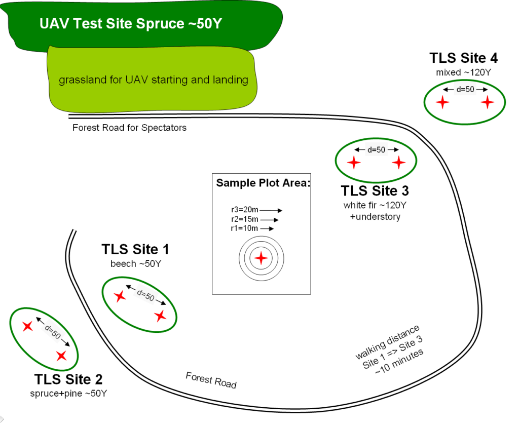
TLS Site 1
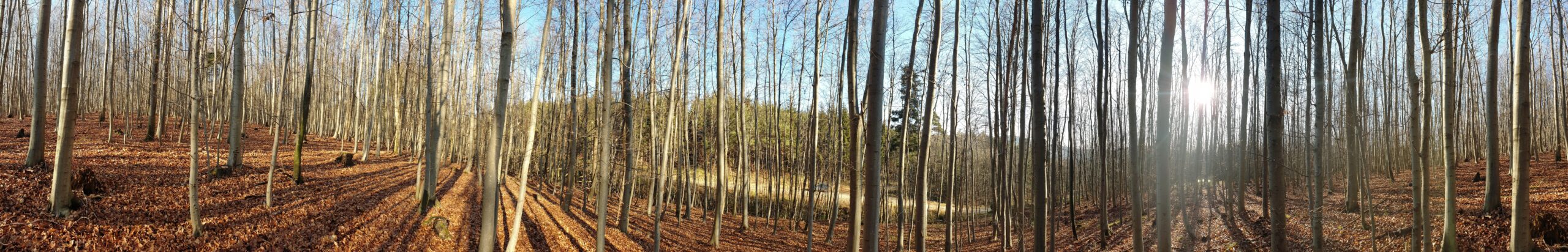
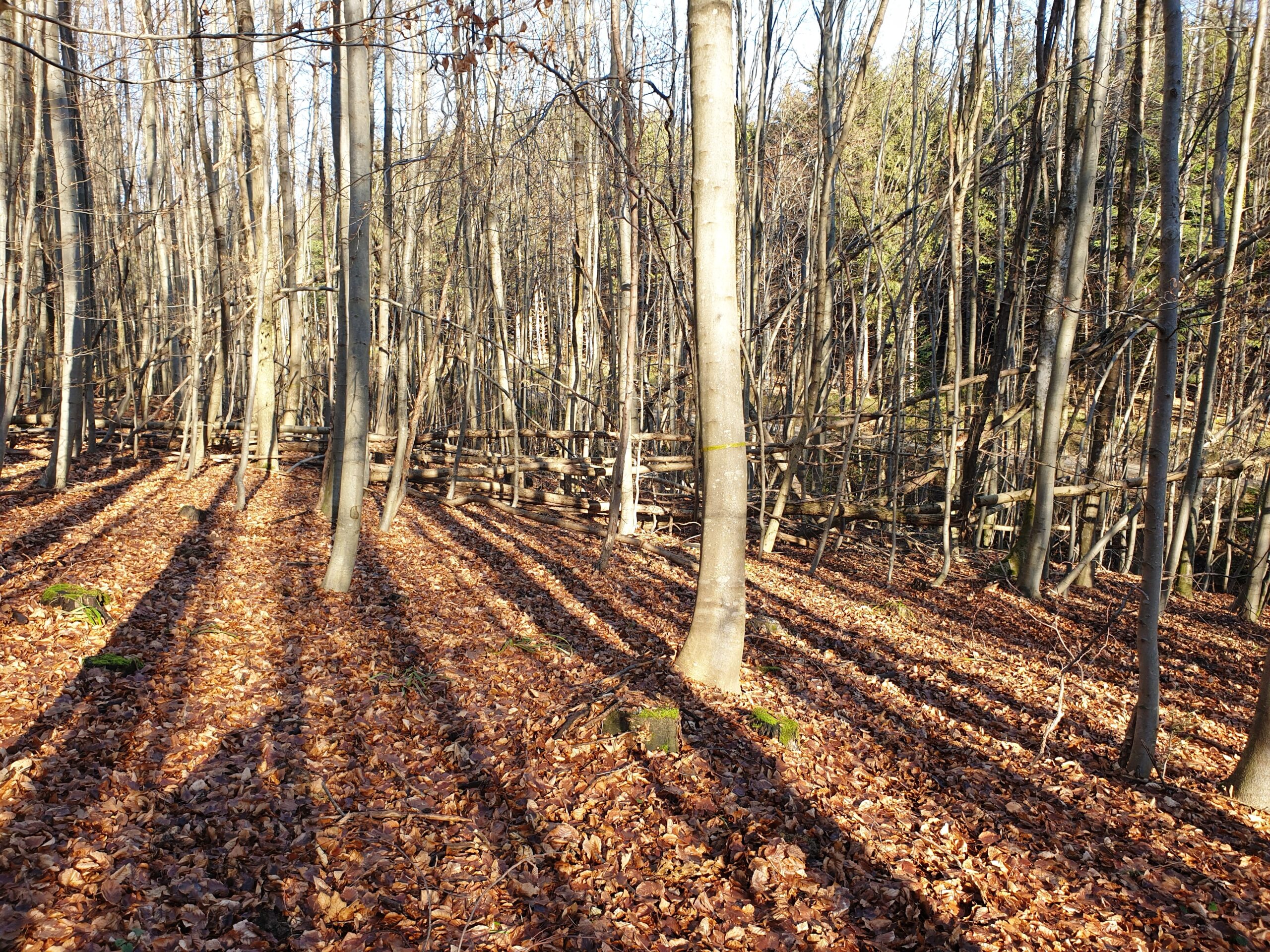
TLS Site 2
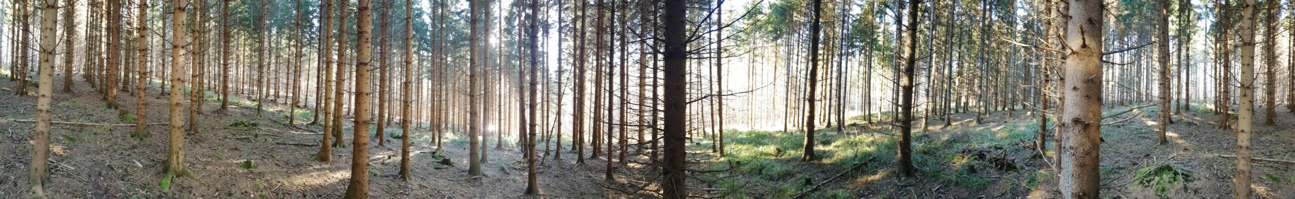
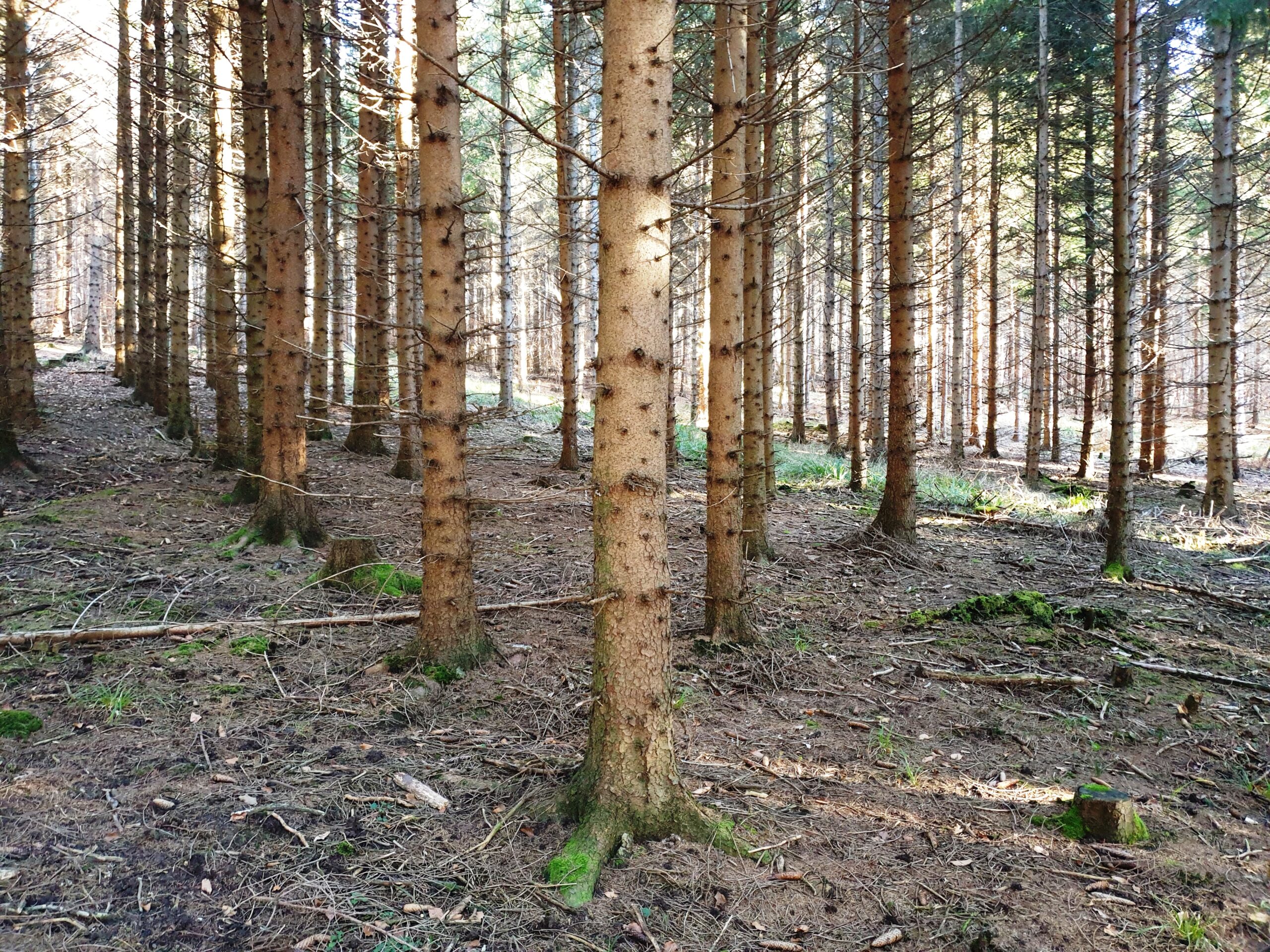
TLS Site 3

TLS Site 4
UAV Test Site